


Optical and radar satellite data can also be utilised for the monitoring of hydraulic activities
Real operation scenarios: from floods to vegetation growth
MOMIT was launched in September 2017 and concluded in October 2019, receiving funding in the region of €59.9m. The project’s six-strong consortium was led by Italian satellite geo-information provider E-GEOS SPA, while other partners included NEAT SRL, an Italian railway ICT engineering solution provider; Terabee, a French drone service provider; CTTC, an R&D centre in Catalonia; the University of Alicante; and Rete Ferroviaria Italiana (RTI), Italy’s railway infrastructure manager.
According to MOMIT, the application of remote sensing technology can be successfully applied to several real operational scenarios. For instance, data derived and analysed from electromagnetic waves can provide better monitoring of ground movement in and around a railway line.
Optical and radar satellite data can also be used to monitor hydraulic activities – such as soil moisture and waterbodies – that could provide vital alerts regarding potential flooding.
Given the recent prevalence of extreme weather events – such as the flash floods that hit southeast Spain in September, which submerged several railway lines – the introduction of such monitoring seems timely. However, MOMIT could not be reached for comment to explain whether the use of satellite data could have helped in a risk-reduction capacity in this specific instance.
Elsewhere, MOMIT believes satellite data could be beneficial in the monitoring of natural hazards, such as excessive vegetation growth, while sensor-armed drones could be deployed to inspect for electrical anomalies impacting on infrastructure efficiencies. Optical and radar satellite data could, similarly, prove to be useful in detecting “illicit activities along the track”.
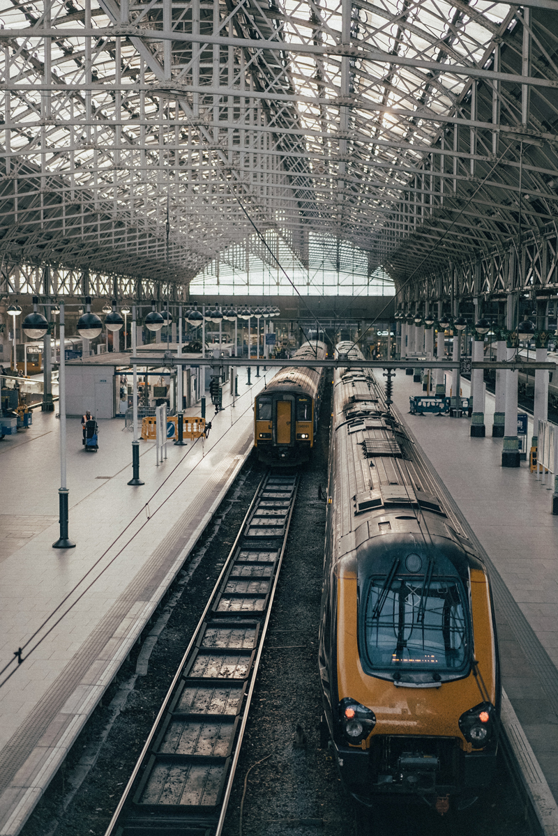
As rail travel has increased in demand, so have the number of delays, overall only 87.7% of journeys arrived on time in 2018 to 2019. Image: Chris Yang
Business case: cost-efficient and timesaving
Remote sensing technology is also supported by a sound economic argument. Bearing in mind that roughly a third of a railway’s operating costs are attributable to infrastructure – which is traditionally labour-intensive – automation and predictive maintenance could spell out greater efficiencies. This could also drastically improve on timesaving, given the cumbersome nature of some manual monitoring procedures.
Yet, it is the improvement in the safety of operations that makes remote sensing monitoring such an enticing prospect. If drones and satellites do come more and more into play, this could lead to a reduction in the number of personnel required on the line. This, again, is an apposite theme in light of the two railway workers struck and killed by a train near Port Talbot, UK, last year while carrying out maintenance work.
If drones do come more and more into play this could lead to a reduction in the number of personnel required on the line
Network Rail has deployed unmanned aerial vehicles (UAVs), to carry out track inspections
Natural bedfellows: UAVs and railways
For many, drones and rail maintenance make for natural bedfellows. Since 2014, Network Rail – which owns and manages the UK's railway infrastructure – has deployed unmanned aerial vehicles (UAVs), to carry out track inspections. The same operator is reported to be in favour of drones for track maintenance on account of their minimal intrusiveness and impact on train traffic. German counterpart Deutsche Bahn is also believed to be weighing up a similar move.
“The availability of 30cm, resolution optical imagery from satellites such as Worldview-3 has enabled a range of applications that would previously have required lower altitude airborne sensors,” explains Damian Clarke, a senior consultant for data exploitation at Plextek, a UK-based technology design and development consultancy.
“This allows high-quality images to be easily collected over large areas and then analysed to extract useful information. For railway applications, this includes the ability to assess the amount of vegetation growing alongside the track. Along with radar satellite systems, they can also be used to detect such issues as landslides or subsidence that could lead to damage to the railway and subsequent accidents.”